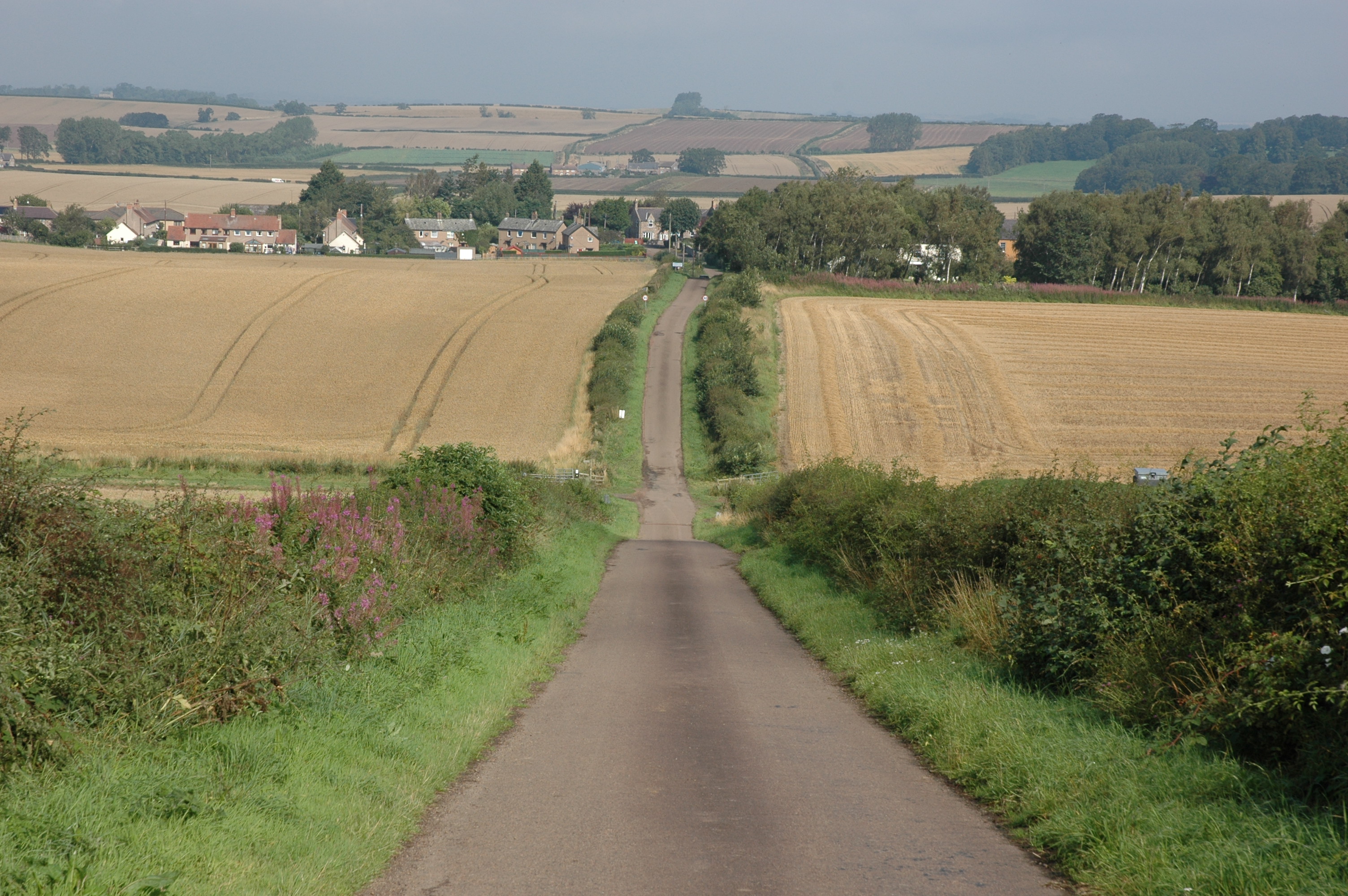
Take care and look out for traffic – narrow road with sharp corners and blind hill summits!!
The road down Branxton Hill
Walking down the road you can feel how the steep and varying slope and deteriorating ground conditions of Branxton Hill would make it difficult for the ranks of pikes to keep in tight formation
H. The Killing Fields
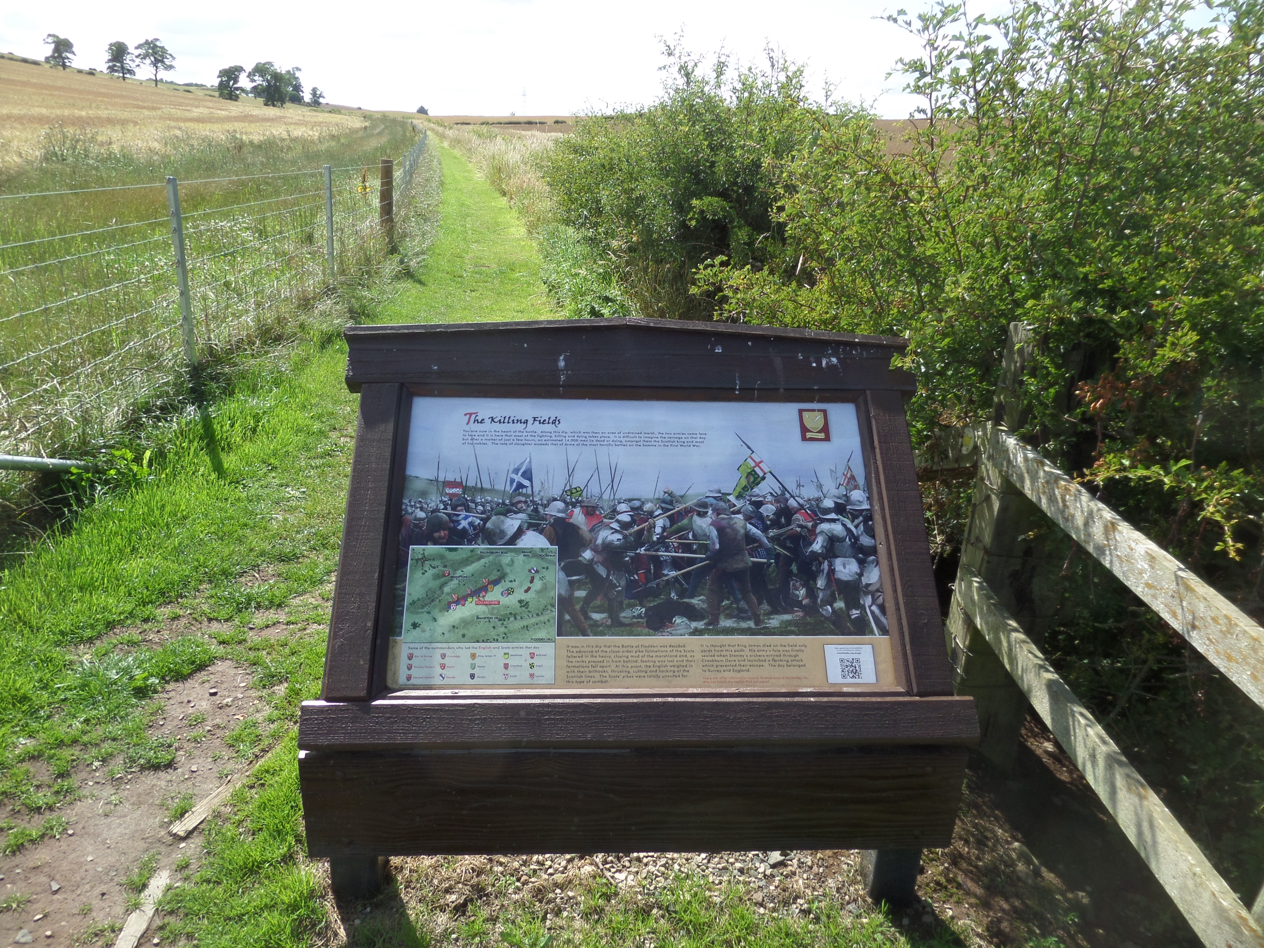
At the foot of this slope, probably some short distance to the right of the road. King James was fighting towards Surrey. Although wounded, but he fought on, but Surrey was surrounded and well protected by his bodyguards. James now has but one hope – his Highlanders.
This final Division of free ranging, hard fighting Highlanders was positioned to James’ right, out of sight from the English lines. They are armed, not with cumbersome pikes, but with their traditional weapons –two handed claymore and Lochaber battle axe. But, as they start down Branxton Hill to rescue their King, they are caught in a devastating arrow storm from Stanley’s Division of English longbows who have advanced unseen from the eastern end of Branxton Hill. The Highlanders, including their commanders, Lennox and Argyle are killed or wounded in what was probably that last effective use of the longbow in these islands. The battle is lost.
His last hope gone, King James IV of Scotland becomes the last reigning monarch to die in battle in these islands. Casualties also included some 10.000 Scots and about 4,000 English in a battle that lasted no more than three to four hours.
For his victory the Flodden the Earl of Surrey was made Duke of Norfolk, a title that the Howard family holds to this day.
Back through the Village
As you start the walk up the ridge on the road to Branxton village you can imagine what it was like being stuck here, knee deep in mud and looking up into an array of heavily armed soldiers ready and eager to attack, and most certainly unwilling to let you pass through their ranks.
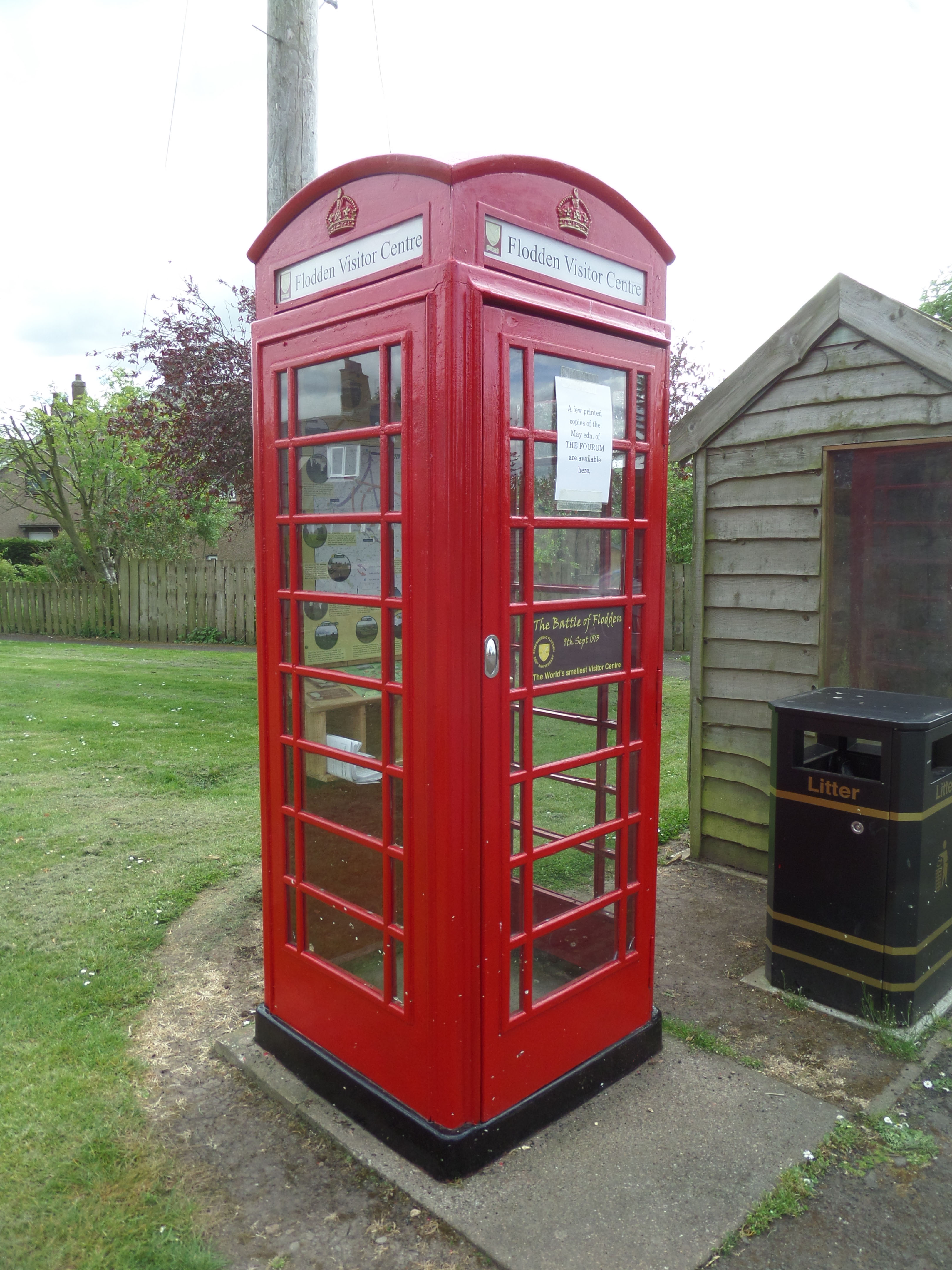
Turn left in the village at the road junction by our world famous ‘Very Small Visitor Centre’ in the red phone box. In here is a map showing the routes of the two armies to the Branxton , and the location of many other local places which are linked to the Battle of Flodden. There is also a recorded message of welcome from the Remembering Flodden Project.
⇒ Keep left at the Y junction to the church where some of the bodies were taken after the battle.
⇒ Continue back through the church the car park. And follow the track towards the Flodden Monument.
We hope that you have enjoyed your visit to the Flodden Battlefield Trail and have found this guide useful, if so please spread the word to others who have a similar interest.
Please help us to keep the Flodden Trail open, and in good condition. Any contribution you may care to make would be gratefully received and used solely towards the upkeep of the Battlefield Trail. Donations can be made online using the button below.
There are also collecting boxes in the red phone box or at the base of the Monument steps.
Make a Donation Restart Tour >